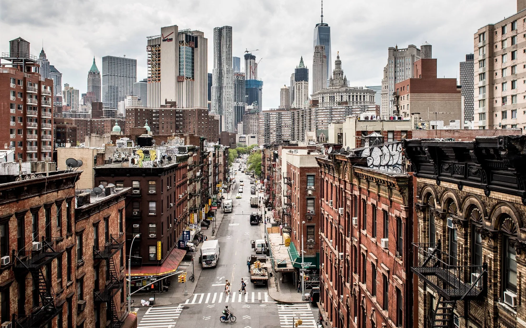
Drone imaging for large or hard-to-reach Manhattan, NY roofs: high-resolution photo sets, thermal passes and mapped findings that guide the hands-on walk.
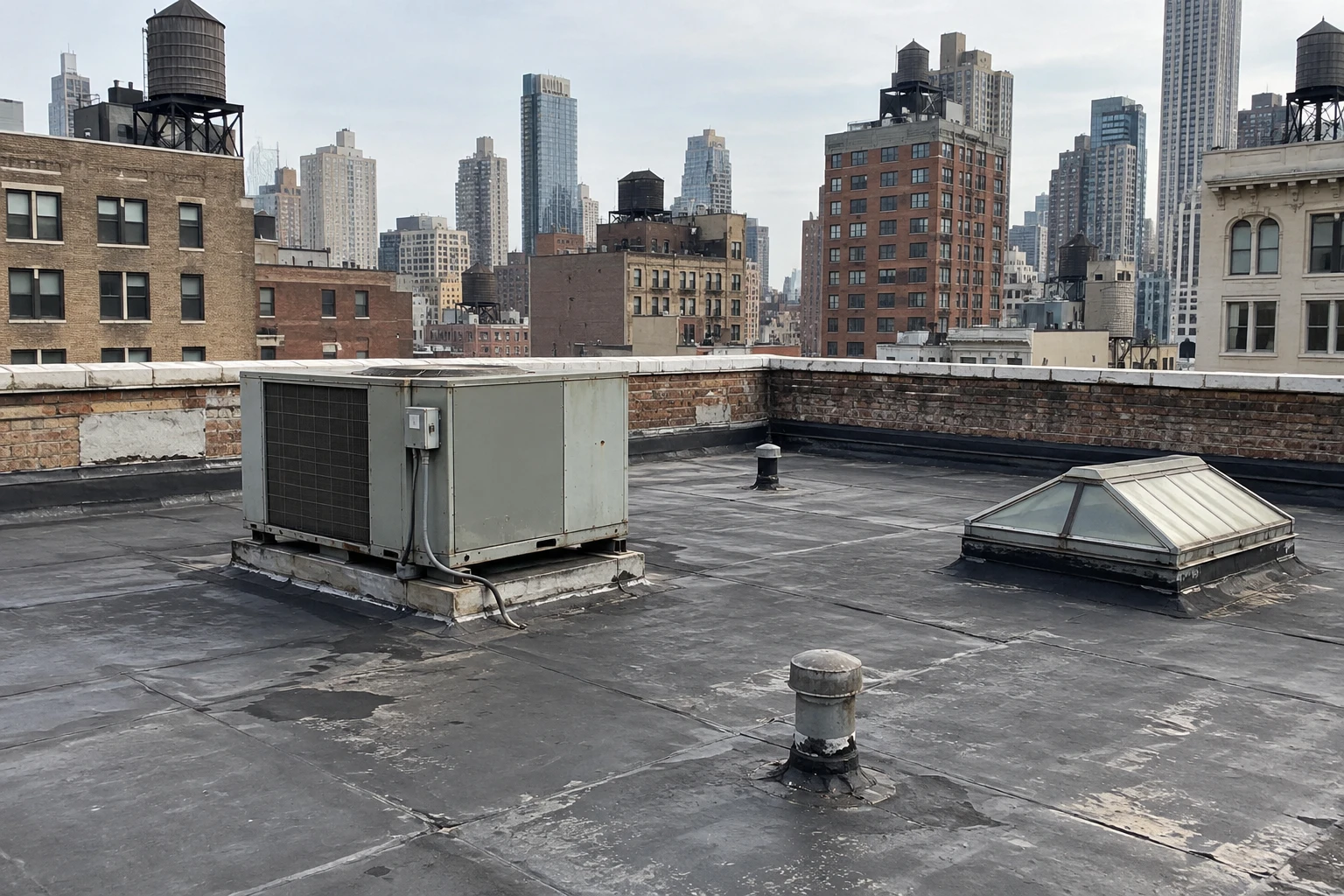
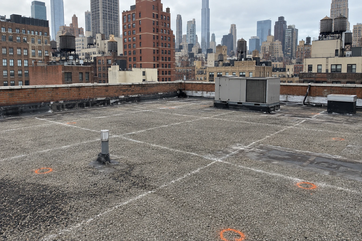
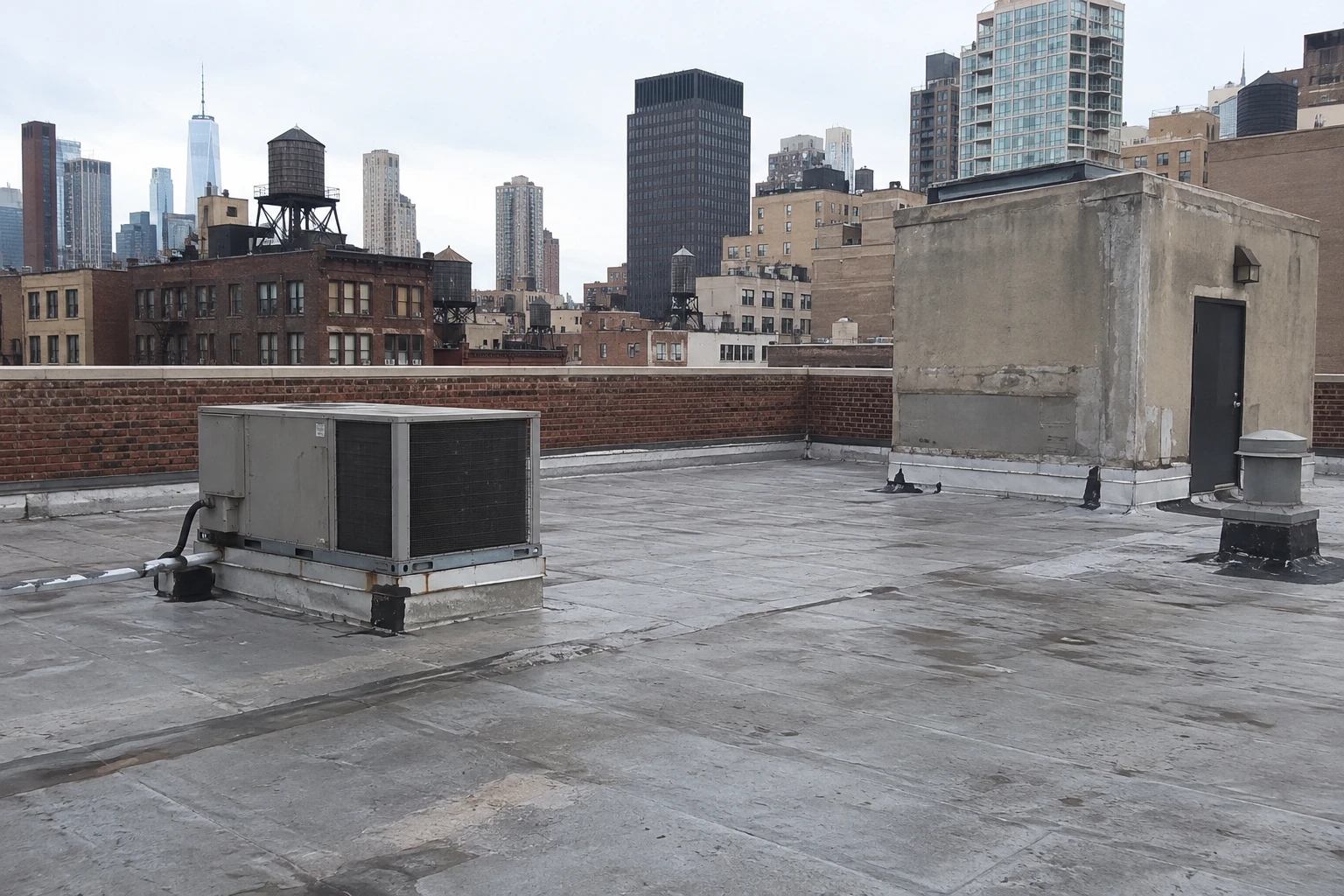
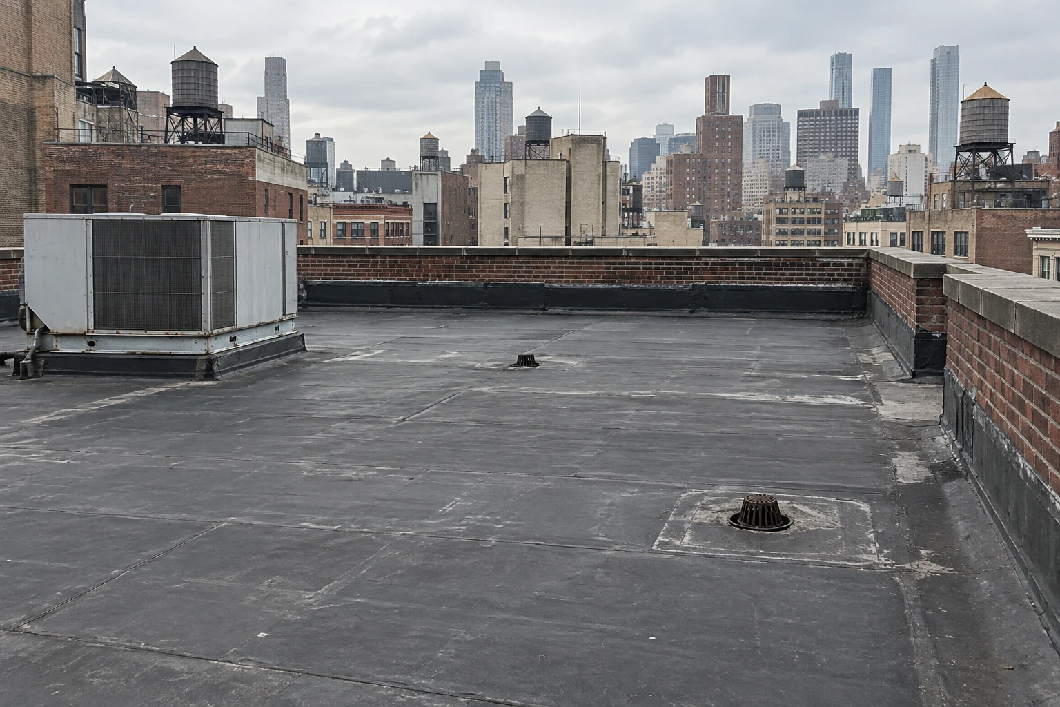
Standing water behind a bulkhead is the kind of finding a drone image makes obvious and a walk across the field can miss, because the shallow crescent only reads as a shape when the whole roof is seen from a fixed height. That view is worth most on roofs that are large, steep-edged, crowded with equipment or unsafe to walk, and on portfolios where the same questions have to be asked of many buildings in a short time. Imaging does not replace the hands-on walk, and it does not measure moisture inside an assembly. What it does is record the surface in a consistent, high-resolution set, find the places that deserve a closer look, and keep a crew off ground it does not need to cross. In this borough, where roof access can mean a ladder through a hatch or a long climb, that is often the safest first step.
What does a drone capture, and what does it miss?
A flight collects overlapping photographs that are stitched into a single image of the roof, along with close passes at details such as drains, curbs, parapets and flashing terminations. Thermal passes, flown at the right time of day and in suitable conditions, can show temperature differences that sometimes indicate wet insulation. Each photograph carries a position, so findings are placed on a plan and can be revisited on the next flight.
The limits are plain. A drone cannot press a seam with a probe, cannot cut a core, and cannot tell a surface stain from a leak by itself. Thermal patterns are clues and not proof, which is why the infrared moisture survey and core cuts follow when the images raise a question. The imaging narrows the list of places to visit, and the hands-on work confirms what is found.
Image quality depends on the plan. Flight height, camera angle and overlap are set so that a seam, a fastener row or a hairline split in a sealant bead can be identified at full resolution, and the close passes at details are flown from several sides because shadows hide defects that a single angle misses.
How is a flight planned over a dense city?
Urban flight takes planning that a rural roof does not need. Airspace rules apply, buildings create wind turbulence and signal shadows, and pedestrians below have to be kept clear. A flight plan covers the date, the launch point, the route, the wind limits and the permissions required, and it is set before the crew arrives. If conditions are poor on the day, the flight is moved, because a rushed pass produces poor images and carries more risk.
Roofs in Midtown and the Financial District sit among tall neighbors, and the wind between towers is different from the wind at street level. A pilot working there accounts for that by flying lower-risk patterns and keeping the aircraft in view. For roofs near the water or near transit corridors, the plan also accounts for glare, gusts and the movement of vehicles below, and the launch point is chosen to keep people out of the flight zone.
Which large roofs benefit most from imaging?
Big, complex roofs gain the most. Hudson Yards is a 28 acre mixed-use development built on a platform over the West Side Rail Yard, with towers such as the 80 story 30 Hudson Yards, which opened in 2019. A site of that scale has many roof levels at different heights, which a drone covers faster than a crew can, and the images give a facilities team a documented starting point for every level.
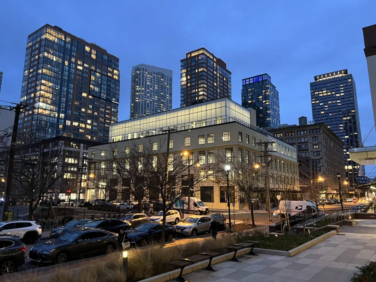
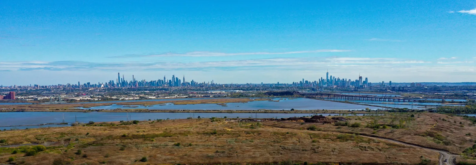
Across the Hudson, Jersey City has 30.7 miles of waterfront and large freight rail yards that railroads built by filling the Harsimus and Communipaw coves, so an owner of large industrial buildings there can use a drone survey to choose where the hands-on walk should begin. Secaucus is home to 13 data centers, and the town sits at an elevation of 7 feet with 10.96 percent of its area covered by water, so a record of how water leaves each roof is worth having. A data center roof is also a place where staying off the surface reduces the chance of disturbing the equipment beneath it.
How does drone imaging serve a portfolio?
For an owner with many buildings, consistency is the main benefit. The same flight pattern, the same resolution and the same labeling make it possible to compare roofs, track change from one season to the next and rank buildings by need. The images can be reviewed by someone who has not visited the site, so a regional manager, an engineer and a lender can all look at the same record.
Imaging also makes pre-purchase review faster. A buyer reviewing several properties can request a flight on each, find the roofs that deserve a full survey, and set aside the others, as part of due diligence roof surveys. After a storm, a quick flight can show which of a group of buildings suffered visible damage, so crews are sent to the right places first.
The same method suits roofs that are unsafe to walk, such as those with weak decking, wet surfaces, steep edges or tight parapets. The flight records conditions without putting a person at risk, and if a hands-on visit is still needed, the images show where to place ladders and staging.
What does the owner receive from a flight?
The package includes the stitched roof image, a labeled set of detail photographs, a marked plan showing every finding, and a short written summary that ranks the findings by urgency. Raw images are retained so a future flight can be compared with this one. Where thermal imaging was flown, the report states the conditions, because thermal readings depend on sun, wind and temperature.
The summary leads to the next step. Findings that suggest moisture go to the hands-on team for a commercial roof inspection. Findings that suggest a surface defect go straight into the repair list. The images also support the condition report that goes to the asset manager.
Repeat flights add the most value. A second set, flown a year later from the same points, shows whether a ponded area has grown, whether a patched seam has held and whether new equipment has changed the drainage. Owners who fly each roof on a regular cycle build a visual history that supports capital planning, warranty claims and insurance renewals.
Commercial Roofing Questions
Can a drone replace a walk on the roof?
No. A drone records the surface and finds places to check, but a probe, a moisture meter and a core cut tell us what is inside the assembly. The two methods work best together, with the flight guiding the walk.
What weather stops a flight?
High wind, rain, fog and low light stop it, as do conditions that make the aircraft hard to control near tall buildings. We reschedule rather than fly in marginal weather, because the images would be poor and the risk higher.
Is thermal imaging always reliable?
Thermal results depend on the time of day, recent sun and wind. A cool, wet area shows up after a sunny day as the roof releases heat, but the same area can be invisible at midday. We pick the flight window to suit the question and confirm any suspect area on the roof.
Who owns the images?
The owner receives the report, the images and the plan, and may share them with managers, lenders and insurers. We retain a copy to allow comparison with later flights unless the owner asks otherwise.